
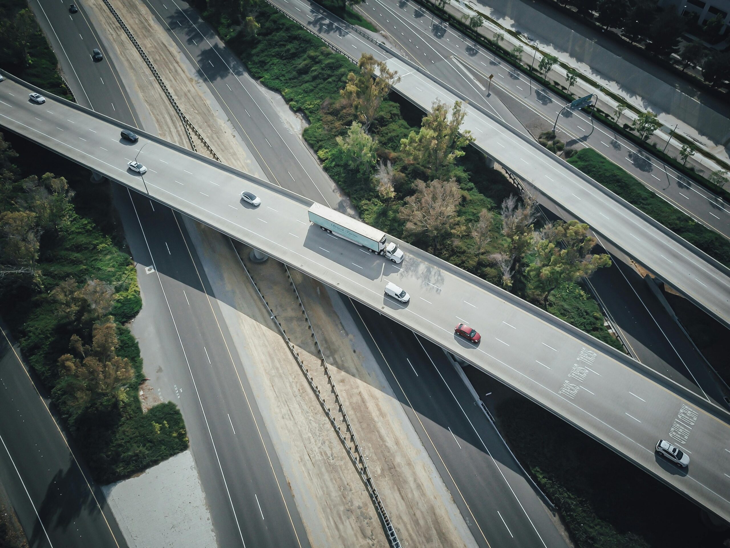
Traffic congestion costs billions annually in lost productivity and fuel. Smart routing technology powered by real-time data is transforming how we navigate cities, making journeys faster and more efficient.
🚗 The Evolution Beyond Static Navigation Systems
Traditional GPS navigation systems revolutionized how we travel, but they had a fundamental limitation: they operated on static map data. These early systems could tell you the shortest distance between two points but couldn’t account for the dynamic reality of traffic conditions. The result? Drivers frequently found themselves stuck in unexpected congestion, following routes that looked optimal on paper but proved frustratingly slow in reality.
Today’s congestion-aware routing represents a paradigm shift in navigation technology. By integrating real-time traffic data, historical patterns, predictive analytics, and machine learning algorithms, modern systems can anticipate congestion before it fully develops and dynamically reroute drivers around problem areas. This isn’t just an incremental improvement—it’s a fundamental reimagining of how navigation systems work.
The impact extends far beyond individual convenience. When implemented at scale, intelligent routing systems can redistribute traffic across road networks more efficiently, reducing overall congestion levels and improving mobility for entire urban populations. Studies have shown that even modest adoption rates of smart routing can reduce average travel times by 15-20% during peak hours.
📊 How Congestion-Aware Routing Actually Works
Understanding the technology behind smart routing helps appreciate its revolutionary potential. These systems operate on multiple data layers that work together to create a comprehensive picture of traffic conditions and predict future patterns.
Real-Time Data Collection and Integration
Modern routing platforms gather information from numerous sources simultaneously. Smartphones with GPS enabled provide anonymized location and speed data, creating a crowdsourced traffic monitoring network of millions of devices. This continuous stream of information reveals where traffic is moving smoothly and where it’s crawling or stopped entirely.
Traffic sensors embedded in roadways, cameras at intersections, and municipal traffic management systems provide additional data points. When integrated together, these sources create a real-time map of traffic conditions with remarkable accuracy and granularity. The system knows not just that there’s congestion on a particular highway, but precisely where it begins, how severe it is, and how quickly it’s changing.
Predictive Analytics and Machine Learning
The most sophisticated routing systems don’t just react to current conditions—they predict future traffic patterns. Machine learning algorithms analyze years of historical data to understand typical congestion patterns for specific times, days, and locations. The system learns that certain intersections consistently jam up during school drop-off times, or that a particular highway segment always slows on Friday evenings.
These predictions become increasingly accurate over time as algorithms refine their models. The system can also account for special events, weather conditions, and other factors that affect traffic flow. When an accident occurs, the system can predict how congestion will spread and calculate how long it will take to clear based on similar historical incidents.
🌐 Popular Navigation Apps Leading the Revolution
Several navigation applications have emerged as leaders in implementing congestion-aware routing technology, each with distinctive approaches and features that cater to different user needs.
Google Maps has become synonymous with modern navigation, leveraging Google’s massive data infrastructure and Android device network to provide remarkably accurate traffic predictions. The platform processes billions of data points daily to optimize routes continuously, automatically rerouting users when faster alternatives emerge during their journey.
Waze takes a more community-driven approach, empowering users to report accidents, hazards, police presence, and other road conditions in real-time. This crowdsourced intelligence complements traffic data to provide highly responsive routing that can adapt to changing conditions within minutes. The social aspect creates an engaged user community that actively contributes to improving navigation for everyone.
Apple Maps has invested heavily in improving its routing algorithms, particularly for iOS users. The platform offers clean integration with other Apple services and has made significant strides in accuracy and feature development. For users within the Apple ecosystem, it provides seamless navigation with strong privacy protections around location data.
💡 Real-World Benefits Transforming Daily Commutes
The theoretical advantages of smart routing translate into tangible benefits that millions of people experience daily. These improvements extend beyond individual convenience to create broader societal and environmental impacts.
Time Savings That Compound Over Weeks and Months
While saving five or ten minutes on a single trip might seem modest, these savings accumulate dramatically over time. A commuter who saves just fifteen minutes daily through intelligent routing reclaims over sixty hours annually—more than a full work week of time previously lost to traffic congestion. This recovered time can be redirected toward family, leisure, professional development, or simply reducing daily stress.
For commercial drivers and delivery services, these time savings translate directly into economic value. Fleets using advanced routing technology can complete more deliveries per shift, reduce fuel consumption, and improve customer satisfaction through more accurate arrival time predictions. The logistics industry has embraced congestion-aware routing as a competitive necessity rather than a luxury.
Fuel Efficiency and Environmental Benefits
Stop-and-go traffic is dramatically less fuel-efficient than steady movement at moderate speeds. By routing drivers around congested areas and onto routes with better flow, smart navigation systems reduce unnecessary fuel consumption and associated emissions. Studies indicate that efficient routing can improve fuel economy by 10-25% compared to congested alternatives, even when the distance traveled is slightly longer.
At scale, these individual improvements create measurable environmental benefits. Cities with high adoption rates of intelligent routing have documented reductions in air pollution levels, particularly during peak traffic periods. As environmental concerns intensify globally, transportation efficiency becomes increasingly critical to sustainability goals.
🏙️ Smart Cities and Integrated Traffic Management
The next frontier for congestion-aware routing involves integration with smart city infrastructure, creating bidirectional communication between navigation systems and municipal traffic management platforms.
Connected Traffic Signals and Dynamic Lane Management
Forward-thinking cities are implementing traffic signals that communicate with navigation systems and adjust timing based on real-time demand. When the system detects congestion building in one direction, signal timing can adapt to provide more green time for that traffic flow. Some cities are testing dynamic lane management systems that can reverse lane directions during peak periods based on predicted traffic patterns.
These integrated systems create feedback loops where navigation apps receive data from city infrastructure while simultaneously providing anonymized data about driver behavior and route choices back to traffic management centers. This cooperation enables more sophisticated optimization than either system could achieve independently.
Public Transportation Integration
The most advanced navigation platforms now integrate public transportation options alongside driving routes. The system can recommend taking a train or bus when that option will be faster than driving through congested areas, providing seamless multimodal routing that considers all available transportation methods.
This integration encourages public transportation use during peak congestion periods, further reducing road traffic and creating a virtuous cycle of improved mobility. Users receive accurate predictions for transit arrival times, walking distances to stations, and total journey duration, making public transportation a more attractive and predictable option.
🔮 Emerging Technologies Shaping the Future
The evolution of congestion-aware routing continues rapidly, with several emerging technologies poised to deliver even more dramatic improvements in traffic flow and journey efficiency.
Vehicle-to-Everything Communication (V2X)
V2X technology enables vehicles to communicate directly with each other, with infrastructure, and with navigation systems in real-time. This creates opportunities for unprecedented coordination, where vehicles can automatically adjust speed and spacing to optimize traffic flow. When combined with intelligent routing, V2X could enable traffic to move in coordinated “platoons” that maximize road capacity and minimize congestion formation.
Early implementations of V2X are already being tested in several countries, with promising results showing reduced congestion and improved safety. As this technology becomes standard in new vehicles over the coming decade, the benefits will compound as the proportion of connected vehicles increases.
Artificial Intelligence and Deep Learning Advances
Next-generation routing algorithms are incorporating more sophisticated AI models that can identify complex patterns humans might never notice. These systems can account for subtle factors like weather impacts on driving behavior, event schedules that affect traffic patterns, and even social media activity that might indicate emerging congestion situations.
Deep learning models can also personalize routing recommendations based on individual driver preferences and patterns. The system learns whether you prefer highways or side streets, how you balance time savings against distance, and even your tolerance for complex navigation instructions, providing increasingly tailored recommendations over time.
⚡ Challenges and Considerations for Widespread Adoption
Despite the clear benefits, congestion-aware routing faces several challenges that must be addressed to maximize its potential and ensure equitable access to improved mobility.
The Digital Divide and Access Equity
Smart routing technology requires smartphone access and data connectivity, creating potential equity issues. Lower-income individuals who cannot afford smartphones or data plans may be excluded from these benefits, potentially exacerbating existing transportation disparities. Addressing this challenge requires thoughtful policies and programs to ensure broader access to navigation technology.
Some cities are exploring public kiosks, integration with public transit systems, and subsidized connectivity programs to extend smart routing benefits to underserved populations. Ensuring that transportation improvements benefit all residents rather than just those with the latest technology is an important consideration for urban planners and policymakers.
Privacy Concerns and Data Security
Location tracking inherent in navigation systems raises legitimate privacy concerns. While most platforms anonymize individual data, questions remain about data collection practices, retention policies, and potential misuse. Users need transparent information about what data is collected, how it’s used, and what protections exist against unauthorized access or commercial exploitation.
Balancing the collective benefits of congestion-aware routing against individual privacy rights requires careful attention to data governance, strong encryption standards, and clear legal frameworks that protect user information while enabling beneficial data aggregation and analysis.
🎯 Practical Tips for Maximizing Smart Routing Benefits
Getting the most value from congestion-aware navigation requires more than just downloading an app. Strategic use of these tools can significantly enhance their effectiveness.
- Enable real-time traffic updates: Ensure your navigation app has permission to access location services and mobile data so it can receive current traffic information and dynamic rerouting suggestions.
- Check routes before departing: Review suggested routes before starting your journey, particularly for unfamiliar destinations, so you understand the overall path and any complex maneuvers required.
- Set departure times strategically: Use the traffic prediction features to identify optimal departure times that avoid peak congestion periods when your schedule has flexibility.
- Contribute to the community: Report accidents, hazards, and road closures when it’s safe to do so, improving data quality for everyone using the platform.
- Compare alternatives: Don’t blindly follow the first suggestion—review alternative routes to understand time-distance tradeoffs and choose what best fits your preferences.
- Keep apps updated: Navigation platforms continuously improve their algorithms and add features, so maintaining current versions ensures access to the latest capabilities.
🌟 The Road Ahead: A Transportation Revolution in Progress
Congestion-aware routing represents just the beginning of a broader transformation in how we approach urban mobility. As technology advances and adoption increases, the cumulative benefits will reshape our cities and daily lives in profound ways.
The integration of autonomous vehicles with intelligent routing systems holds particular promise. Self-driving cars that communicate with navigation platforms and each other could achieve levels of traffic flow optimization impossible with human drivers, potentially eliminating congestion entirely in many scenarios. This isn’t science fiction—early tests with partially autonomous vehicle systems have already demonstrated significant congestion reduction.
Beyond personal transportation, smart routing principles are being applied to freight logistics, emergency services, and public transportation, creating more efficient urban systems across all mobility categories. Emergency vehicles that can anticipate and avoid congestion save lives. Delivery trucks that optimize routes reduce costs and environmental impact. Buses that adapt to real-time conditions improve reliability and attract more riders.
The vision of truly smart cities where transportation systems operate as coordinated, efficient networks rather than collections of competing individual vehicles is becoming reality. Congestion-aware routing serves as a critical foundation for this transformation, demonstrating that relatively simple technological interventions can create substantial improvements in urban quality of life.
As we look forward, the continued evolution of routing technology promises journeys that are not just faster and smoother, but fundamentally more predictable, less stressful, and more sustainable. The traffic congestion that has plagued cities for decades need not be an inevitable consequence of urban life—it’s a problem we now have the tools to solve, one smart route at a time.